Slide 2 of 24
Notes:
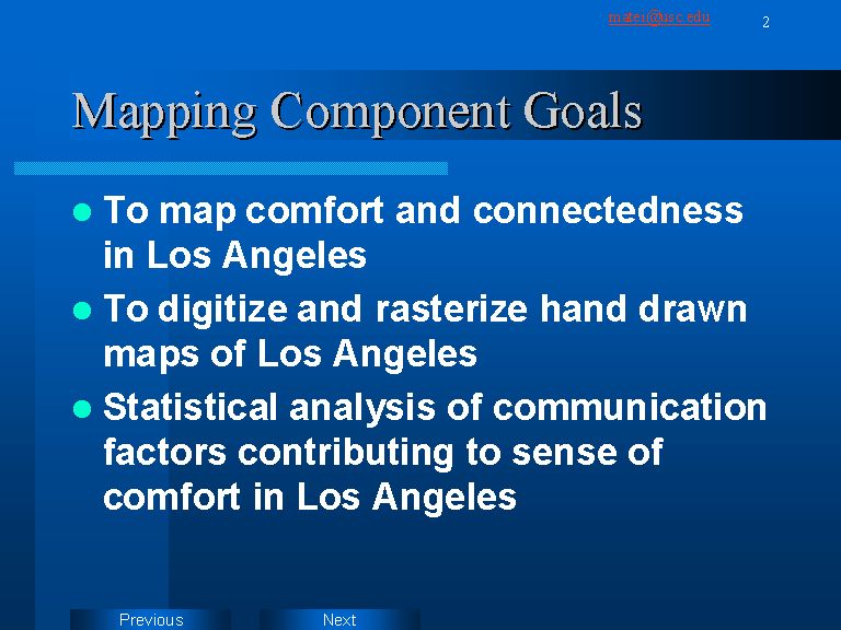
The mapping component of the project relies on hand-drawn maps and on geo-referenced information about people’s movements around town. Presently we have more than 60 hand drawn maps and information from over 1400 telephone interviews about people’s travel patterns in Los Angeles. The first stage of the mapping project, involving the hand drawn maps, is close to completion. It involves digitizing the maps into a GIS format, which will allow us to measure spatial correlations between comfort/discomfort areas and various socio-demographic variables.