Slide 5 of 24
Notes:
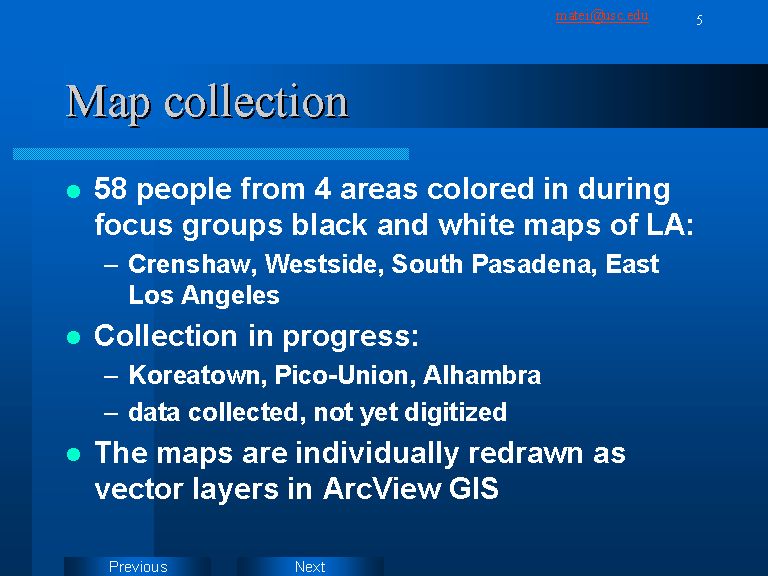
This presentation focuses on the 58 hand-drawn maps. Respondents used 4 colors to represent degree of comfort in Los Angeles. They were recruited from four communities: Crenshaw, Westside, South Pasadena and East Los Angeles (see map of location on next slide). The respondents were given about 20 minutes during focus group sessions to color in maps depicting in black and white the highway grid of the city. The maps also indicate names of major landmarks and neighborhoods. The maps were then redrawn manually in ArcView, by using the “create theme” function. Fifty-eight different vector layers were created. The process of transcription tried to replicate the exact contours drawn by the respondent.