Slide 12 of 24
Notes:
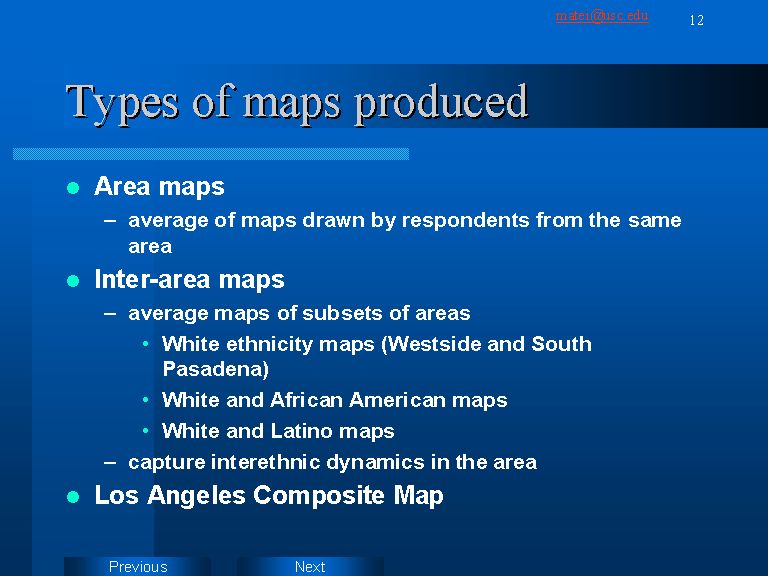
Three types of average maps were thus produced:
1. An average map for respondents from each area
2. Average maps for subsets of areas, based on people’s ethicity (e.g. White and Latino average map)
3. A “grand total” average map, based on all 58 maps digitized up to date.
The average individual area maps are useful for understanding how comfortable each group of respondents finds various areas of Los Angeles. Comparing the four maps thus created we can see where people of each ethnicity feel comfortable or not. The second type of maps are useful for understanding interethnic dynamics. The “grand total” map of Los Angeles is a work in progress. Its real value will be revealed when maps of respondents form all areas will be averaged in a final image of Los Angeles. This final map will then be used for measuring correlation with crime statistics, media exposure, and housing value in order to reveal what causes feelings of comfort/discomfort associated with various areas of the city.